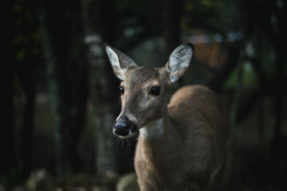
Last year I began this blog by sharing with our readers how deer evade hunters during the rifle season. The smart deer (those who have survived at least 1 hunting season) had somehow discovered spots where they won’t be discovered.
I shared with you Hillside Doe’s hiding place and how before dawn she ran to a spot on the side of a ridge and stayed there nearly all day. You can watch her movements in this movie – December 2nd was opening day and you can see by shooting hours most days she had already reached her hiding spot.
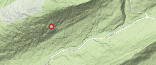
Looking at a topo map I could see this hiding spot had some of the steepest topography in all of her home range. And from aerial imagery it appeared to be near some boulder fields.
But what did it look like from the ground?
Well, it only took 2 years for me to find a free weekend (when the leaves were off the trees), so read on for some on-the ground images. I asked my wife, Lisa, about going along for a walk with our 2 dogs – and all agreed it would be a great way to spend a Sunday afternoon.
Getting to this hiding spot was not that difficult. Head south on Rte 322 from State College and then take Stone Creek Rd west. Here’s a topographic image of the area with this doe’s hiding spot marked.
After we parked the car, we had to cross a small stream and make our way up the hillside. There was some mountain laurel to push our way through, but nothing too difficult.
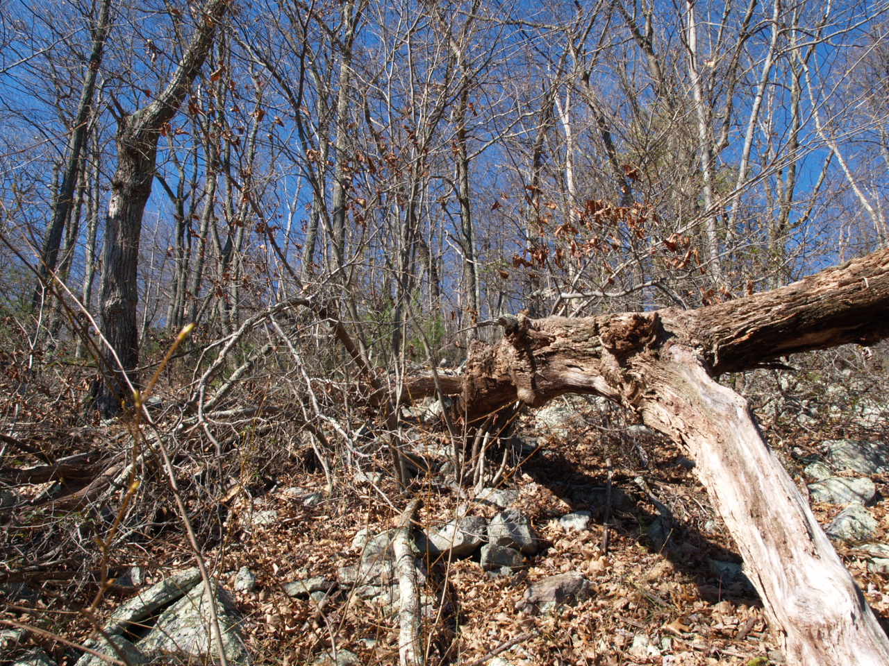
Then there was the boulder field that appeared just as the ground got steep.
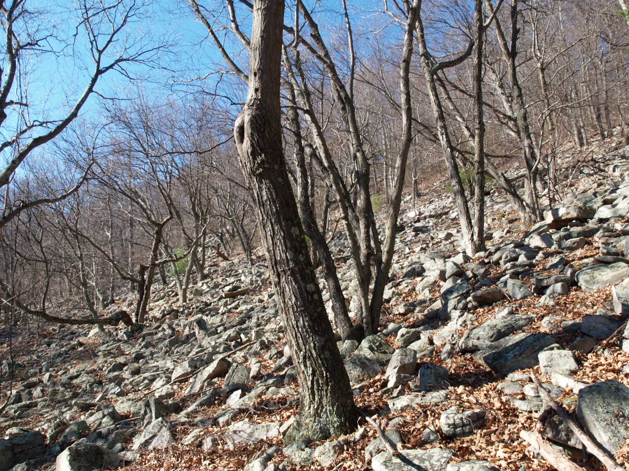
I thought deer rarely walked through these boulder fields. Myself, I worry I’ll twist an ankle even wearing hiking boots! Apparently, I was wrong about what deer will do.
Following our GPS unit we continued uphill in a NNW direction.
It was not a simple hike. We literally had to pull ourselves up the hillside by holding onto shrubs and small trees or grabbing rocks.
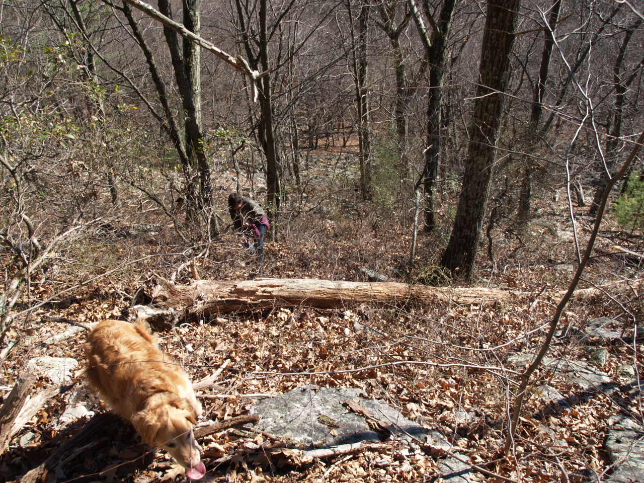
Eventually, the GPS unit indicated “You have arrived at your location.” Our dog’s tongues say it all!
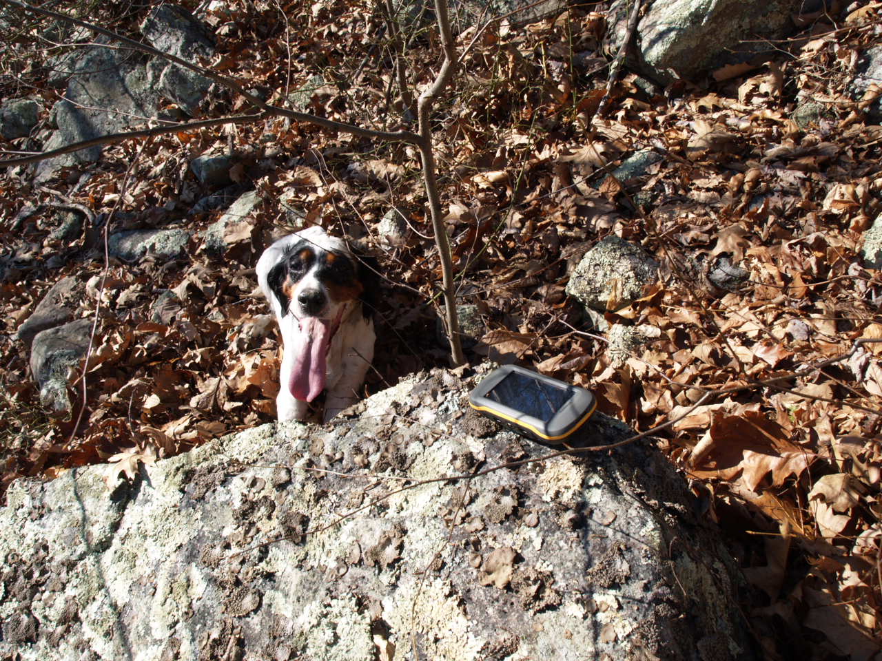
The site was a patch of cover above a fairly open slope of rocks.
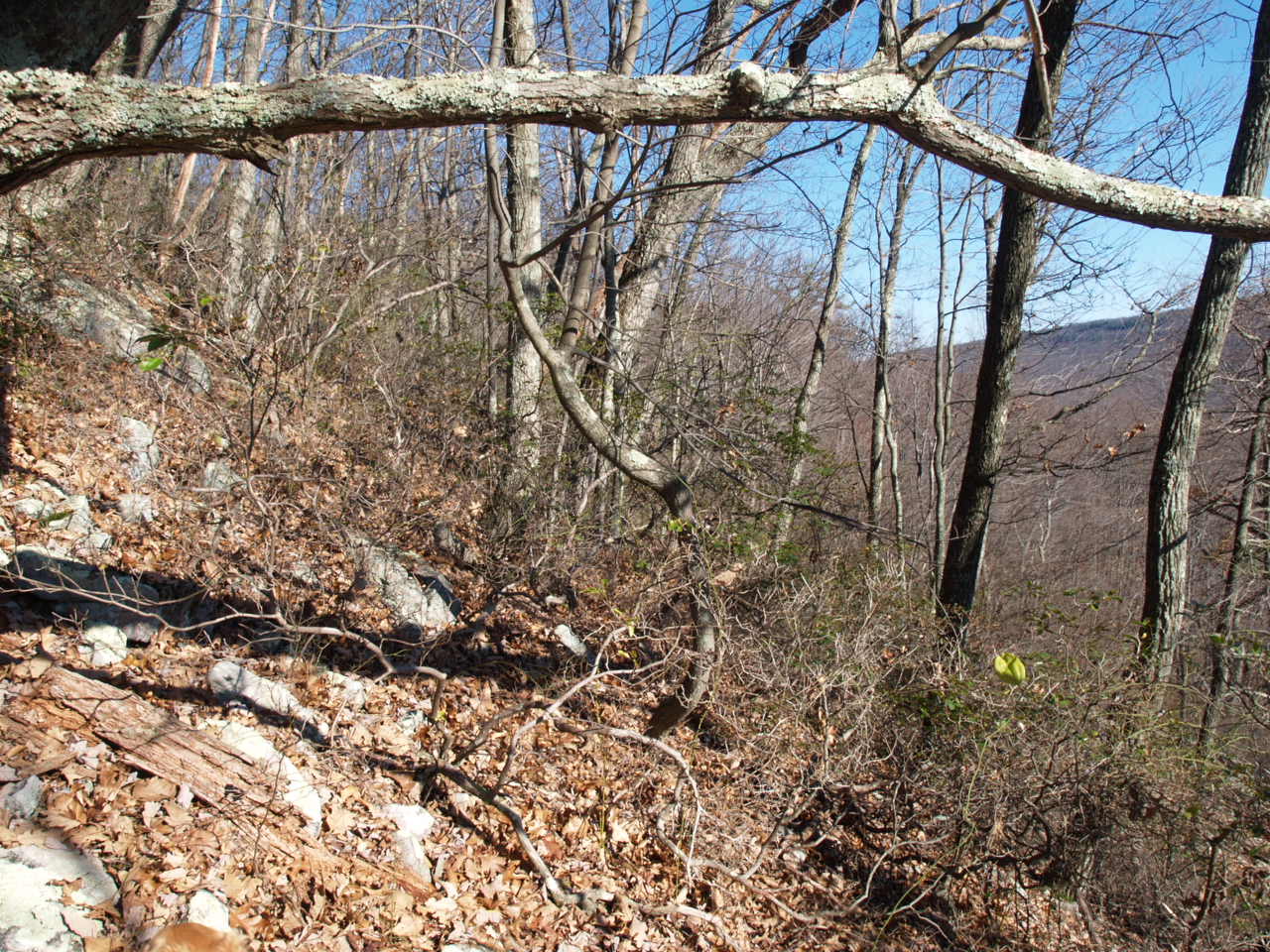
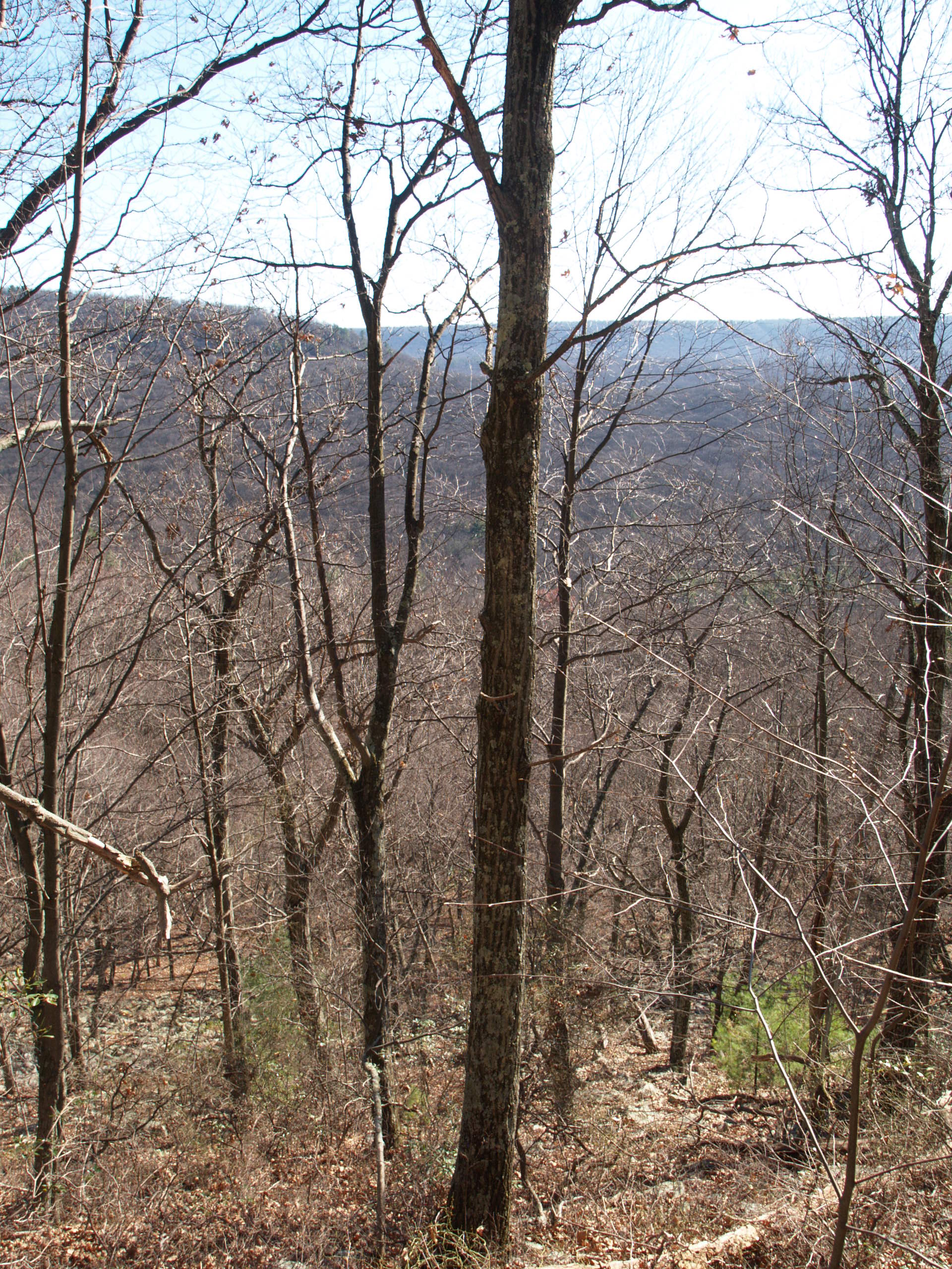
Here’s what the location looked like to the east.
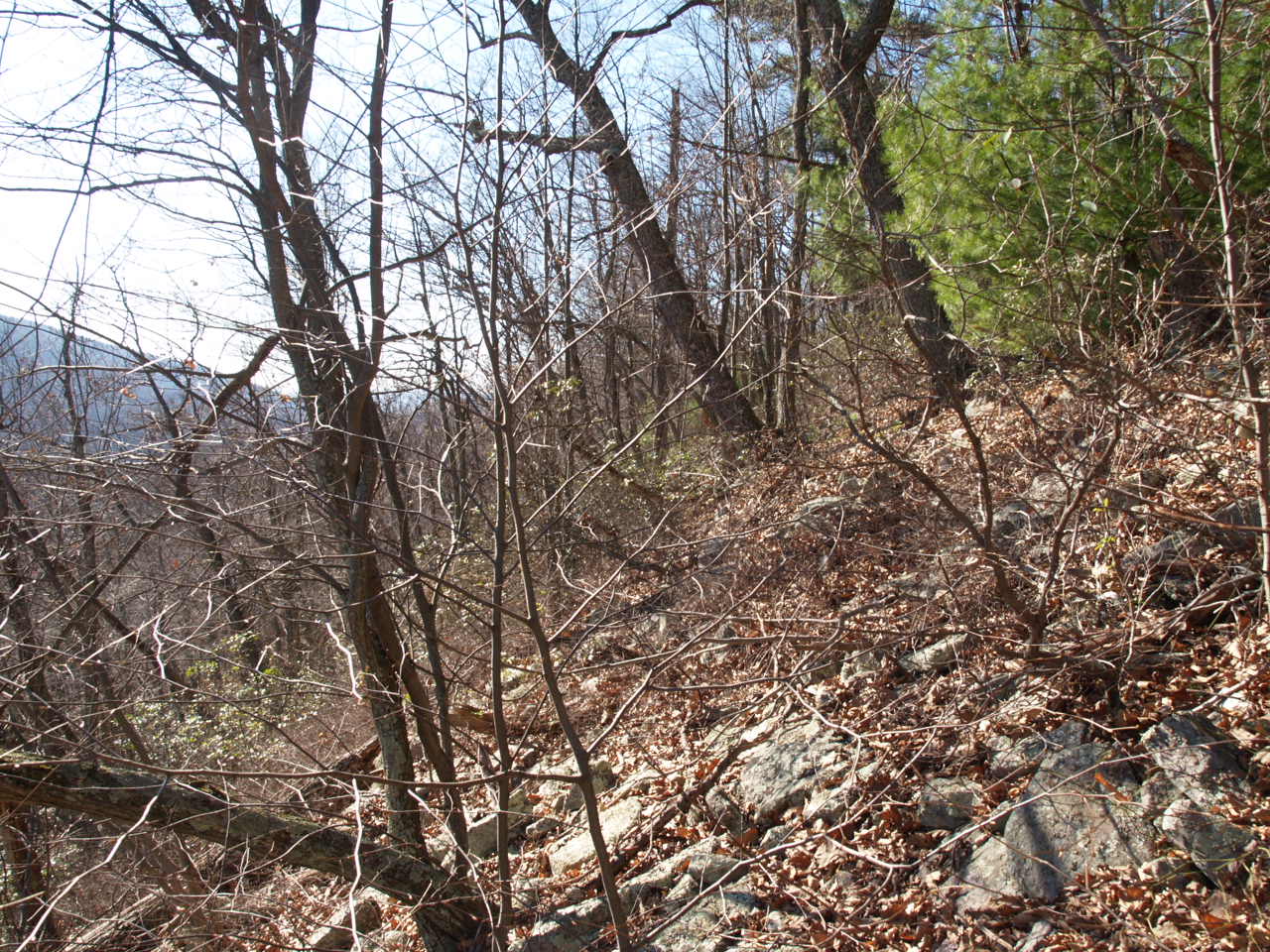
And to the west.
When foresters measures slopes they describe them as a percentage. Zero percent is flat and a 45 degree slope is 100% (for every foot you go up in elevation you also cover 1 foot in the horizontal – that is steep!). I did not bring a clinometer with me, but this was pretty darn close to a 100% slope!
Uphill (north) looks deceivingly easy to ascend in a photo!
And the view to the south was beautiful!
If there was ever a place to evade hunters and enjoy the scenery of the Rothrock State Forest, it would be this location! And you will never sneak up on a deer in this perfect hiding spot.
But it was a great way to spend a Sunday afternoon! I think I can convince Lisa to go along to visit the hiding spot of Buck 8917. Even though I already know from the map that this hike is going to be a lot harder! Stay tuned.
-Duane Diefenbach
If you would like to receive email alerts of new blog posts, subscribe here.
And Follow us on Twitter @WTDresearch